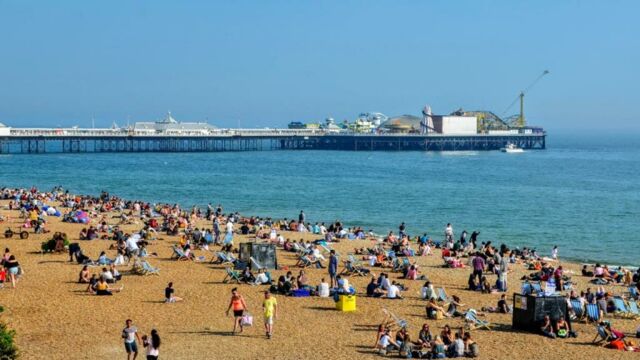
The upcoming bank holiday weekend looks promising for most Brits with temperatures labelled ‘above average’ by the Met Office.
Discover our latest podcast
The heatwave will push the thermometers to the 30C mark with plenty of picnic and sunbathing weather days guaranteed during the end of May and the beginning of June.
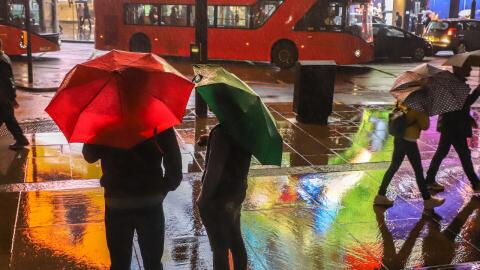
It comes as no surprise that the extreme temperatures may be interrupted by the showers ‘turning heavy at times’. The weather agency warns that the heatwave may be broken by thunderstorms in a couple of weeks.
The good news is that looking ahead to mid-June, Brits will still enjoy a relatively ‘settled and dry’ start to summer.
As the Met Office warns about extreme temperatures, here is an unexpected tip that will help you cool down during the heatwave.
Brace for a heatwave as British summer is about to start
As the UK is heading into June, the Met Office predicts ‘dry and sunny weather’ across the country with temperatures likely staying ‘above average for the time of year’.
The thermometers are expected to peak at a way over 20C this Bank holiday weekend and grow further to 30C at the beginning of June, which will give the vitamin D-deprived Brits the opportunity to soak in much sunshine.
The weather agency said:
Temperatures should be above average for most but with some colder nights in the north. Feeling warm away from windward eastern coasts, perhaps very warm for the south.
Exact date UK to nudge 30C as June 'mini heatwave' sends temperatures soaringhttps://t.co/dE8Vfuk6lkpic.twitter.com/z02Fjk5YGR
— The Mirror (@DailyMirror) May 25, 2023
Experts believe that the extreme temperatures are caused by the weather phenomenon 'El Nino' which occurs every few years and is expected to return in 2023.
According to the Met Office, it causes the warming of sea surface temperature, typically concentrated in the central-east equatorial Pacific.
Meteorologist Jim Dale, from British Weather Services, explained:
Low pressure forces the air to come in from the south which comes the 19C and 20C temperatures, which move up to 25C to 26C. And it looks like it may well happen, we may start to see something more continental - that's all we are looking for.
We need to see if El Nino kicks in, although we are not the main recipients. But we can fully expect some hazardous weather if El Nino gets going, we may see the knock-on effect.
Although the next couple of weeks will be relatively ‘settled and dry’, there could be ‘outbreaks of light rain’ in Scotland and Northern Ireland.
Read more:
⋙ Travel warning issued for Brits going to Spain for their summer holidays
⋙ DWP announces change in payment date for thousands on benefits, here's what to expect
Thunderstorms are still a possibility
The Met Office also warned of the possibility of thunderstorms potentially breaking the heatwave.
In its forecast for May 29 to June 7, they said:
[There is] a possibility of weak frontal systems bringing some patchy rain to the far north and, with time, an increased chance of showers, perhaps thundery, moving north into, or developing over southern areas.
They expect the temperatures to remain ‘above average’ overall, though ‘cooler in some coastal locations where onshore breezes develop.’
Netweather has doubled the Met Office’s warning of thundery outbreaks.
The forecaster Ian Simpson said:
There may be occasional rain or showers for the south and especially the southwest, especially late in the week, and this may also be accompanied by thunder.
According to Simpson, thunderstorms are ‘not guaranteed’ on the British Isles as they may remain ‘over northern France and the English Channel’.
Read more:
⋙ DWP offering £300 a month ESA payment if you have any of these 23 health conditions
⋙ Never store your eggs in the fridge door for this surprising reason
Sources used:
- Mirror: 'UK weather: Met Office verdict on 30C heatwave as temperatures skyrocket amid warning'
- Daily Star: 'Met Office warns 'thunderstorms' could rock UK during upcoming mini-heatwave'


